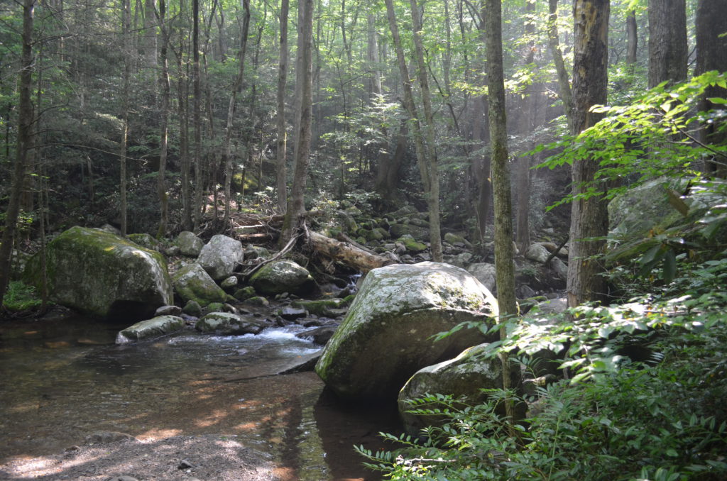
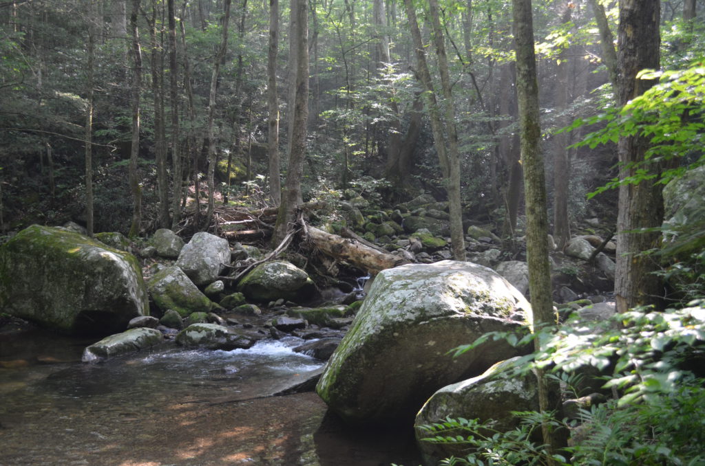
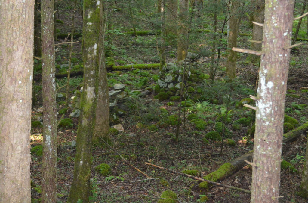
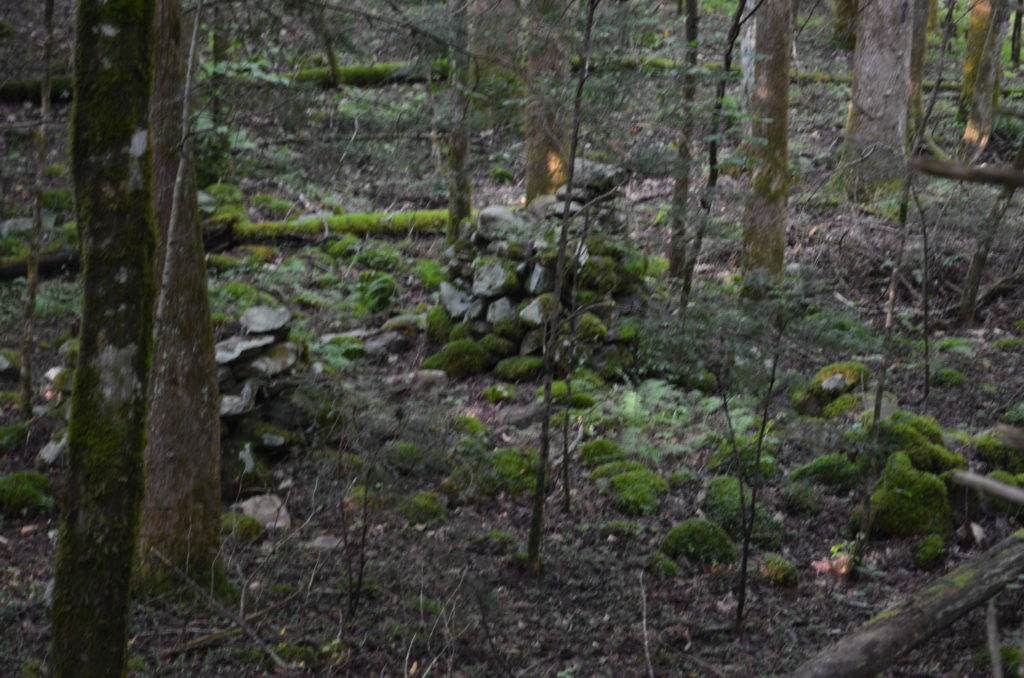
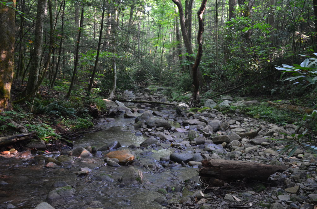
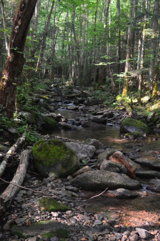
Cosby Creek Trail
Tackling our first "Afternoon Hiker" hike, Lori and I walked the Cosby Creek (horse) trail.
While the Afternoon Hiker book describes this as a 4 mile round-trip hike, we only covered 2.4 miles. We did alter our return trip to follow the Low Gap trail a bit, so it's possible that cut off a bit of the out-and-back route.
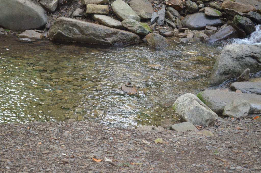
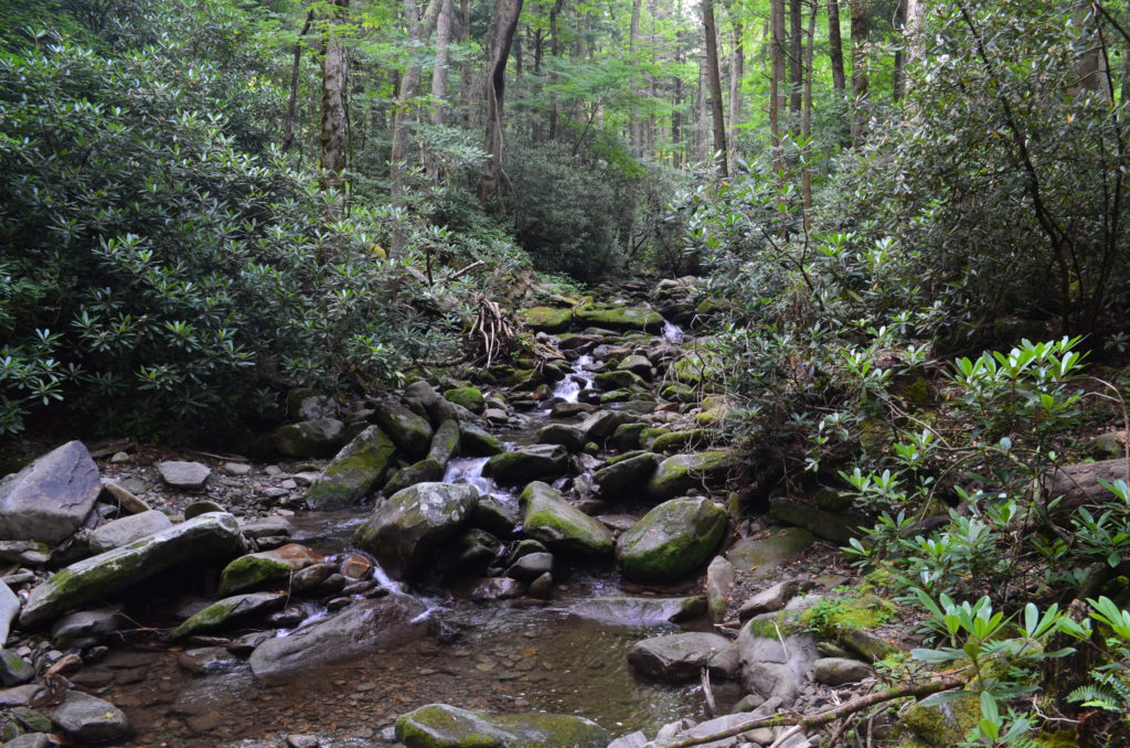
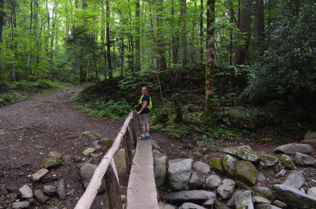
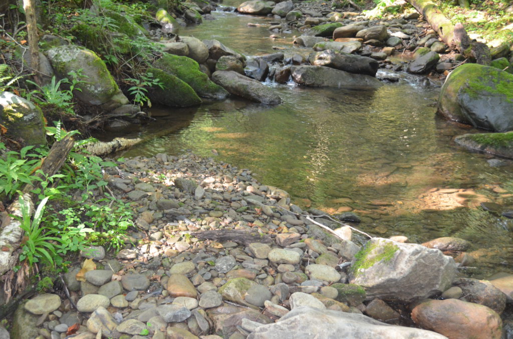
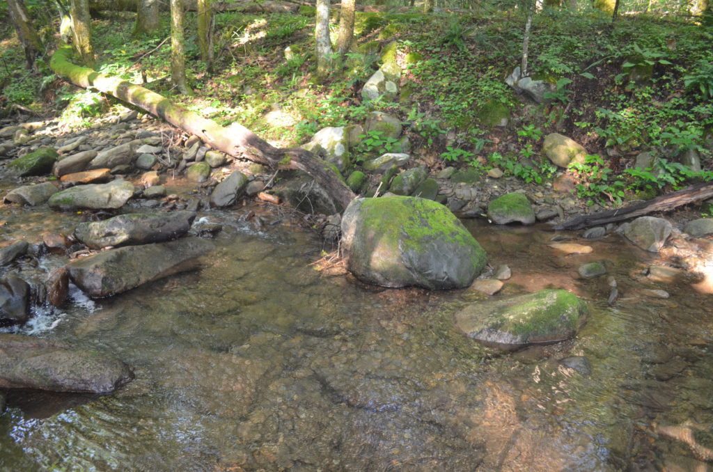
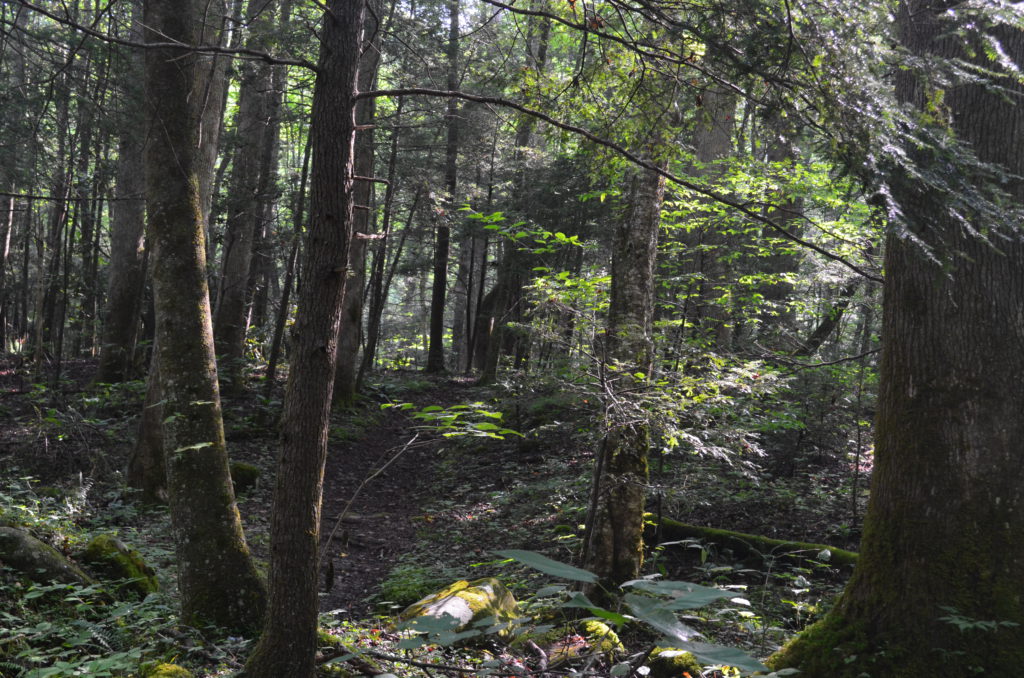
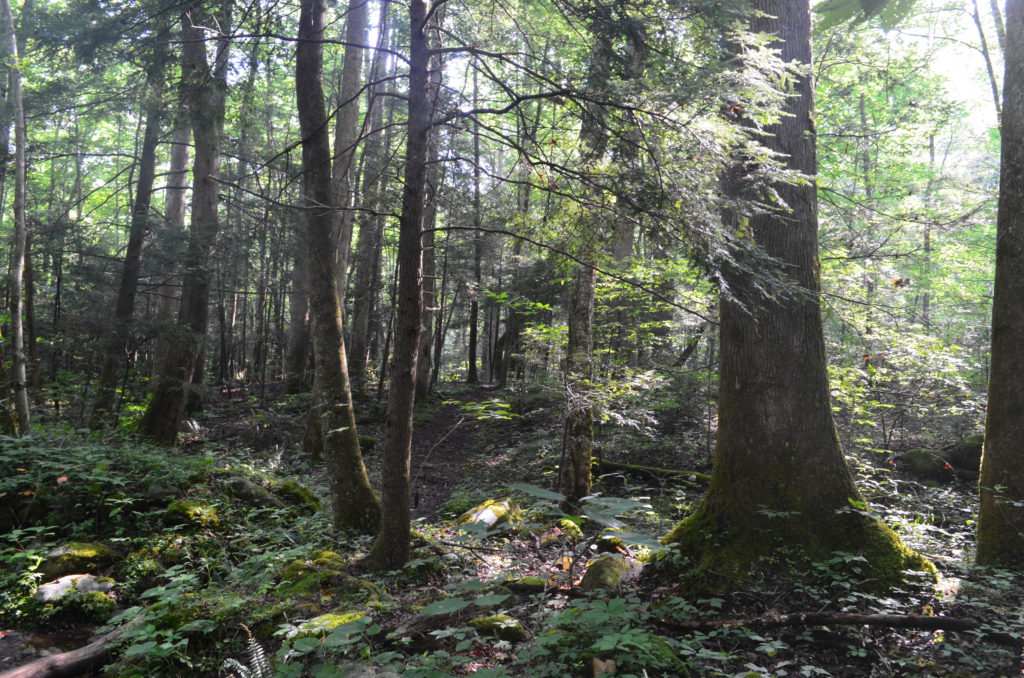
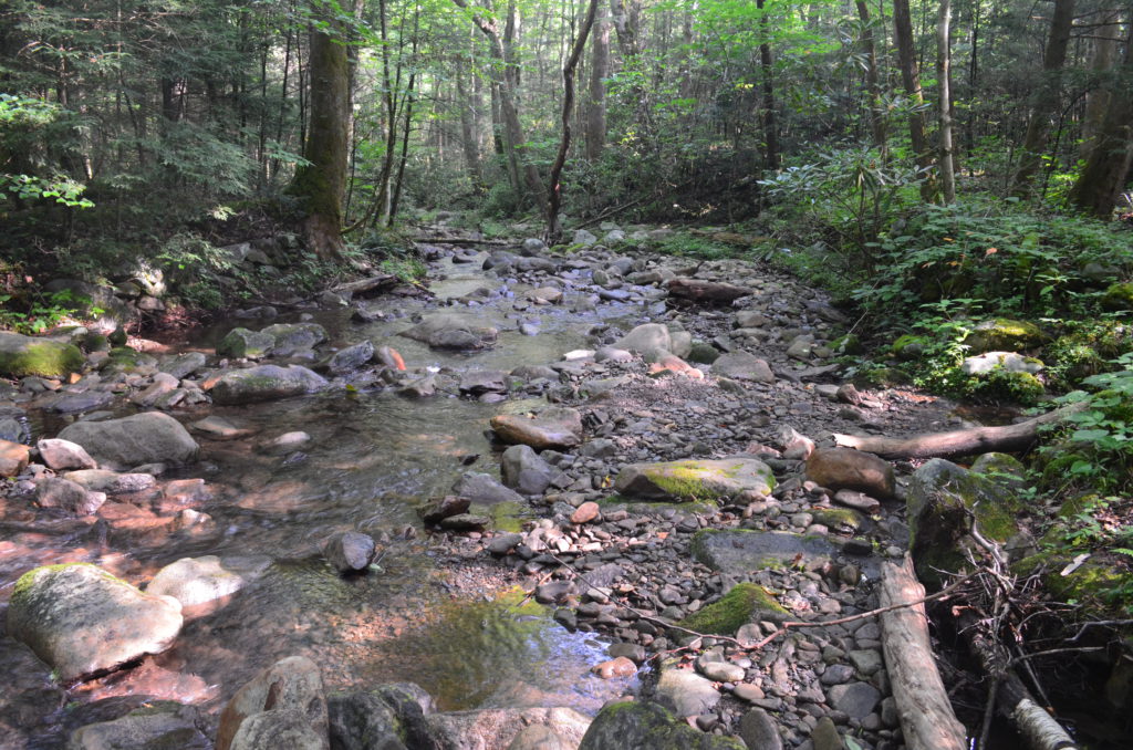
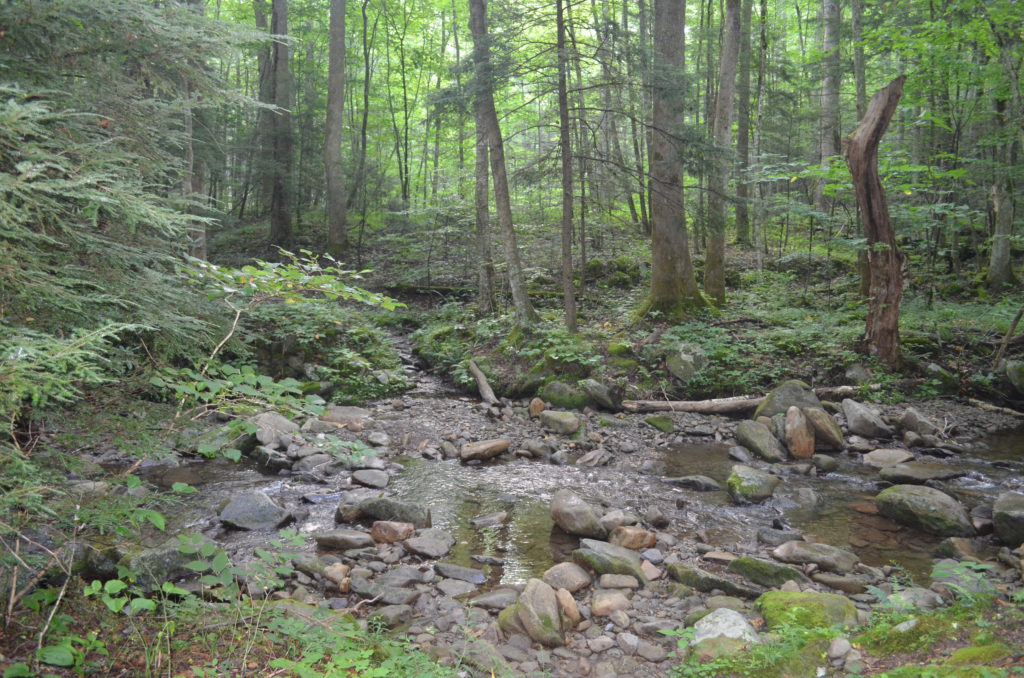
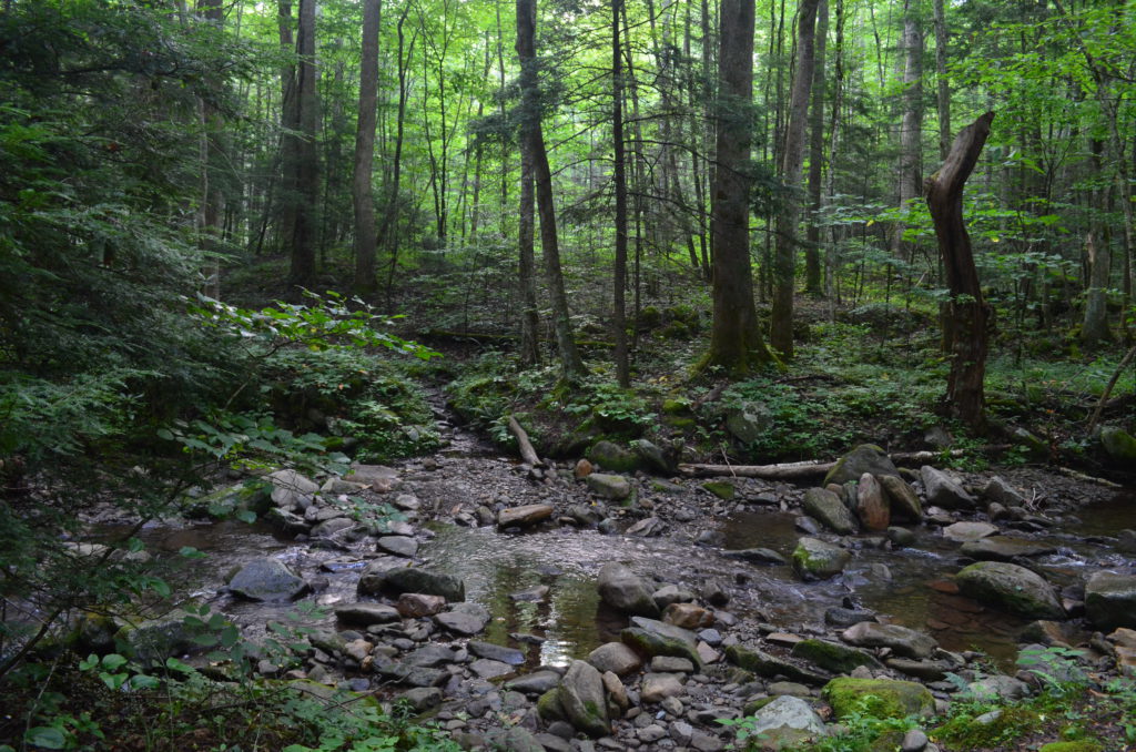
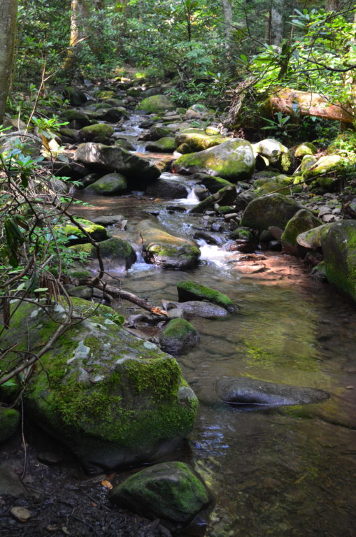
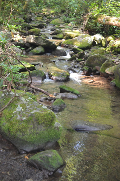
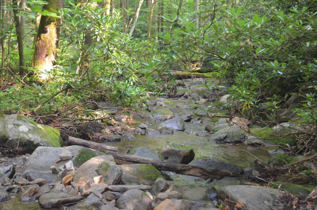
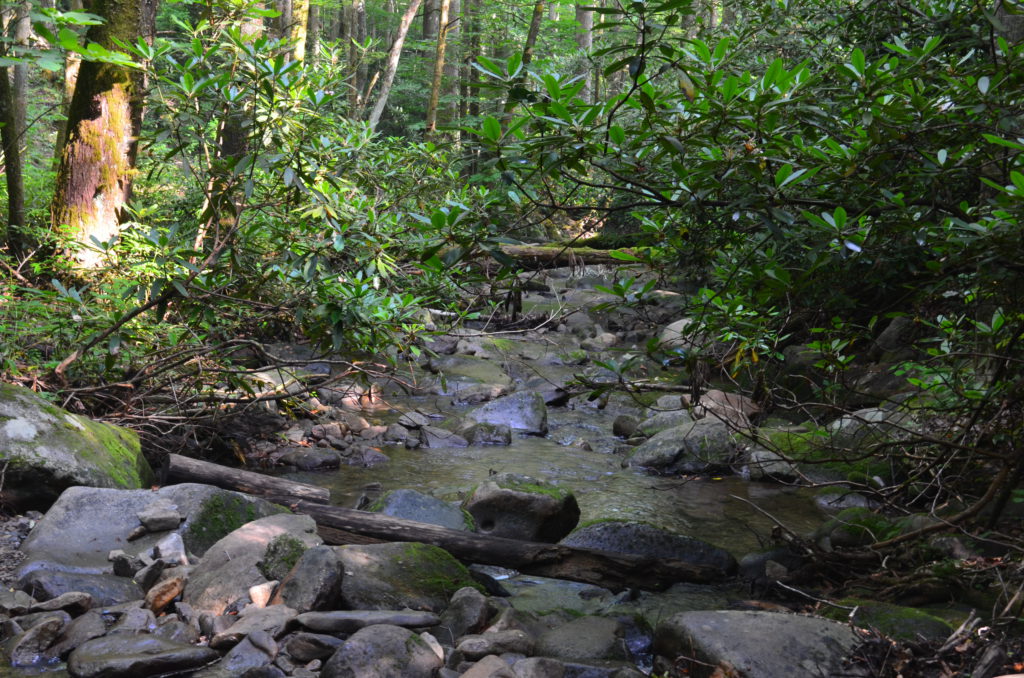
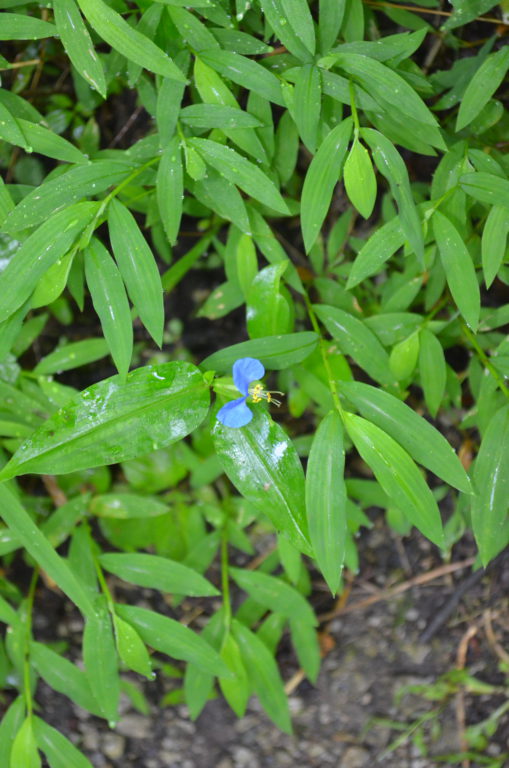
The trail was relatively easy - the return was a bit more uphill than the trip out, but not strenuous at all. The trail did cross the creek multiple times, but each crossing was easy to ford without worry of getting wet.
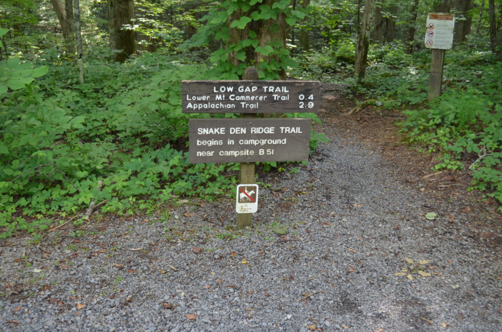
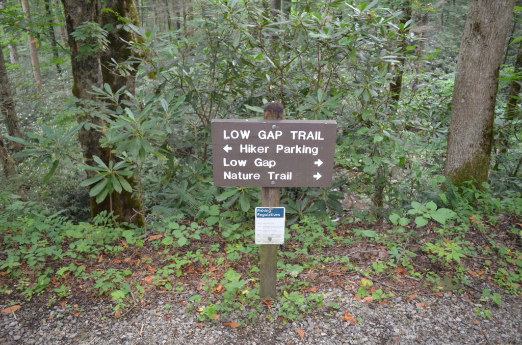
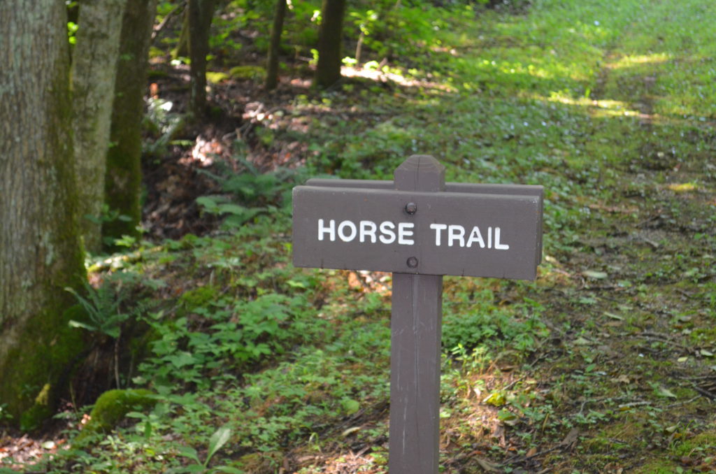
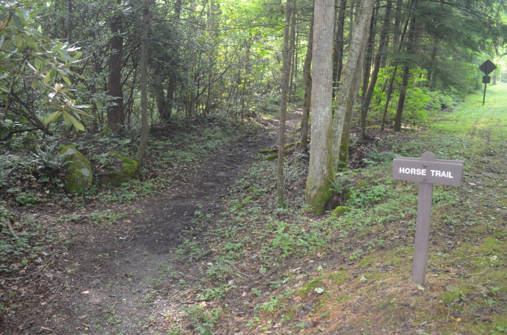
We nearly missed the left-turn from the Lower Mt Cammerer trail onto the horse trail, but once we began to walk away from the creek, we turned back and found the sign for the horse trail.
Monday, July 4, 2016 8:43 AM EDT Distance: 2.4 miles Duration: 2 hours, 25 minutes, and 59 seconds Average Speed: 1.0 mph Minimum Elevation: 2118 feet Maximum Elevation: 2319 feet Total climb: 347 feet Total descent: 239 feet


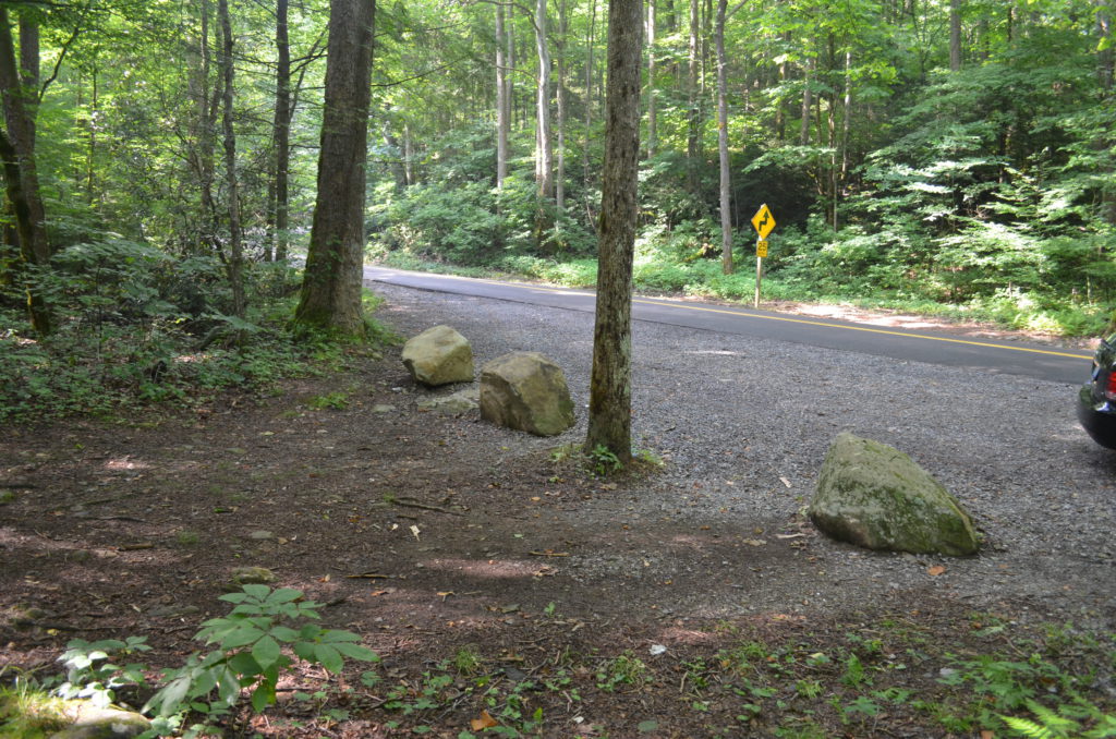
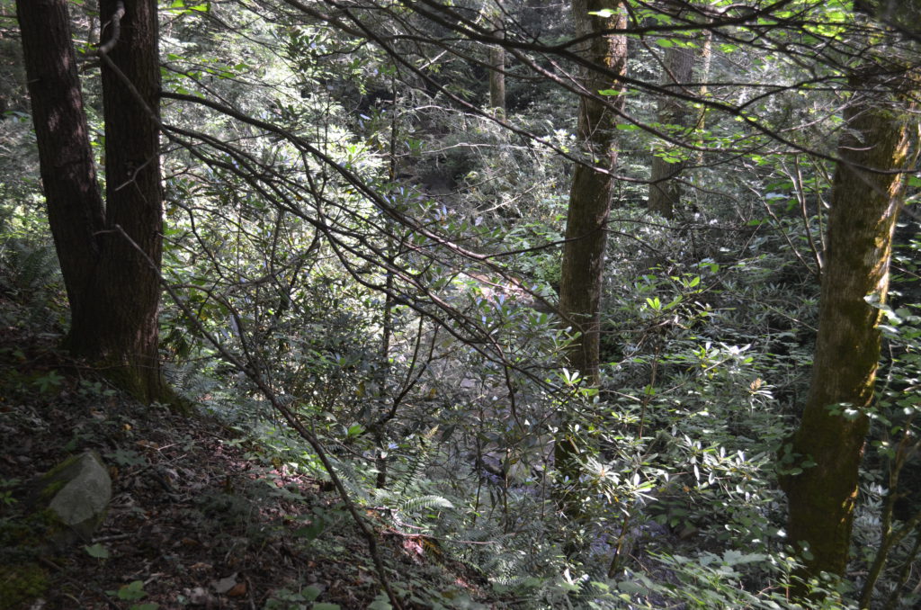
The trail ends at this pull-off.